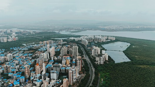
Along India's coast, the boundary between land and sea is not always a line of concrete. In places, it is a forest of tangled roots, tidal channels, and sediment, a landscape that changes character with the water. Mangroves influence how water moves, how shorelines evolve, and how coastal communities experience flood risk. Their role in coastal protection depends on the width and condition of the forest, the movement of tides, and the accumulation of sediment.
Seawalls and embankments are designed to resist water at a defined boundary. Mangroves work through a different set of processes. Their roots, trunks, and branches create resistance to moving water, while the forest interacts with sediment and tidal flows over time. The two forms of protection are often discussed separately, yet along inhabited coasts they occupy the same territory. Development takes place behind embankments, roads cross tidal landscapes, and mangrove forests persist in the remaining spaces between infrastructure and water. How these elements are arranged can influence the conditions under which coastal protection operates.
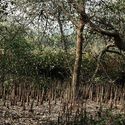
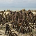

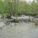
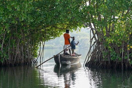
In 2020, Pelayo Menéndez estimated that existing mangrove forests provide more than US$65 billion in annual flood-protection benefits globally. Their modeling suggested that, without these forests, an additional 15 million people could be flooded each year. These are modeled global estimates, not predictions for individual sites, but they indicate how much coastal exposure is affected by the presence of mangroves.
Related Article
Landscape Architects Rise to the Challenge of Coastal FloodingThe protective effect varies with the forest and the conditions around it. During a storm surge, roots, trunks, and branches obstruct the movement of water, reducing flow velocity and, under some conditions, surge height. A 2019 study modeled Cyclone Sidr along the coast of Bangladesh, testing different mangrove widths and planting densities. Across the modeled configurations, flow velocity fell by 29–92% and surge height by 4–16.5 centimeters. The results varied with forest width, vegetation density, bathymetry, and other local conditions. The researchers also identified the potential for mangroves to reduce erosion and damage to coastal embankments.
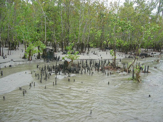
These findings have implications for where and how coastal development takes place. A mangrove belt needs sufficient space to grow, while tidal channels allow water and sediment to move through the landscape. Development at the forest edge can narrow that space or interrupt those connections. The effects on flooding will depend on local hydrology and exposure; mangrove loss alone does not establish that a particular neighborhood has become more flood-prone. It does, however, make the relationship between land use and coastal protection a planning concern.
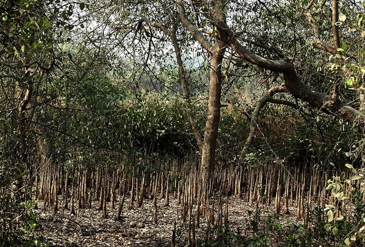
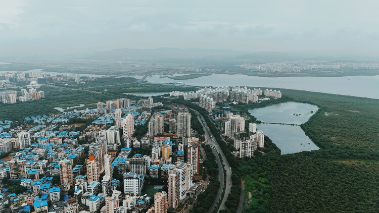
Mumbai illustrates this conflict at an urban scale. Mangroves occupy creek and estuary edges alongside transport corridors, residential development, industrial land, and reclaimed territory. They form part of the geography through which the city has expanded, often in areas where development pressure and the continuity of coastal ecosystems come into direct contact.
In 2014, geographer Eric Vaz examined urban growth and mangrove change across the Mumbai Metropolitan Region. His analysis reported that 36% of the region's mangrove system had been lost to urban land since 1973. A 2025 study of Greater Mumbai mapped mangrove cover from 1994 to 2024 and recorded a decline from 71.8 to 68.99 square kilometres. The figures cover different periods and geographic boundaries and should not be read as a single continuous measurement.
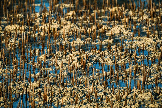
The consequences of development extend beyond the area of vegetation removed. A project may occupy land at the edge of a forest, interrupt a tidal connection, or reduce the space available for mangrove growth. Such changes can alter the conditions in which the remaining forest functions, although their effects on flood risk need to be assessed in relation to local water levels, exposure, and topography. Planning at the scale of individual parcels can miss these connections when the wider coastal landscape is treated as a series of separate sites.
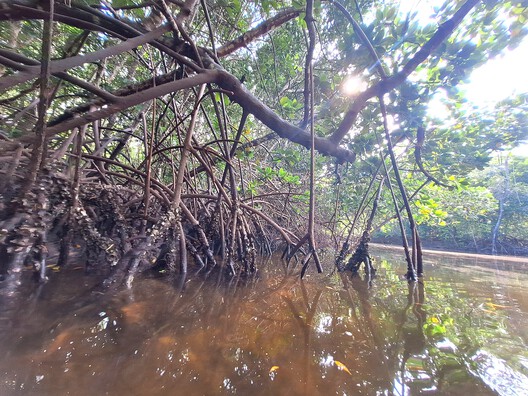
Between 2012 and 2022, more than US$5 million was invested in Mumbai's mangrove restoration programs. During this period, Adam Shaham evaluated 25 restoration sites using satellite imagery and time-series analysis. The research assessed changes in mangrove extent over time, offering a way to examine the outcomes of restoration beyond the amount invested or the number of trees planted. Vegetation cover is one measure of recovery, but it does not by itself establish whether tidal flows, sediment processes, and other conditions required by a functioning mangrove forest have also been restored. In Mumbai, where tidal landscapes have been heavily modified, an increase in mapped vegetation cover does not by itself show whether the hydrological conditions required by a functioning forest have returned.
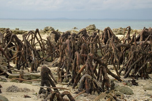
The relationship between mangroves and engineered defenses offers another way to examine coastal protection. In Bangladesh, where embankments are essential to the protection of many settlements from cyclones and flooding, mangroves have been studied for their potential to reduce the force of water reaching these structures. Lower flow velocities could help limit erosion at the base of embankments and reduce the risk of breaching and other damage. The study does not suggest that mangroves can replace embankments. It points instead to the influence of the landscape in front of an engineered defense, where the condition of the forest can affect the water acting on the structure.
For architecture and planning, this relationship can be examined through the coastal section. A section extending from open water to inhabited land can show the position of tidal channels, mangrove vegetation, sediment, embankments, roads, and settlements. It can also identify where the forest has room to grow, where water moves towards a defense, and where people remain exposed to flooding. The design of the structure still depends on flood levels, loads, and local ground conditions, but these are only part of the spatial arrangement that determines coastal exposure.
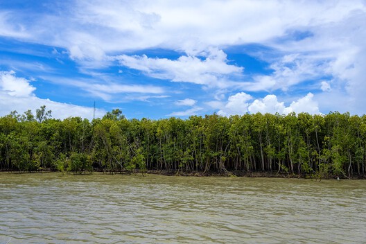
In Odisha, the Bhitarkanika mangrove landscape brings these questions into a setting where villages, agriculture, aquaculture, and tidal waterways sit alongside the forest. The relationship between mangroves and settlement is visible in the damage caused by the 1999 super cyclone. In a study published in 2005, Ruchi Badola and S. A. Hussain examined storm-protection benefits by comparing cyclone damage in three villages. They assessed damage to houses, livestock, fisheries, trees, and other assets, alongside the level and duration of flooding. Their work examined protection at the scale of settlements and household losses, where the condition of the landscape has direct consequences for people's lives and livelihoods.
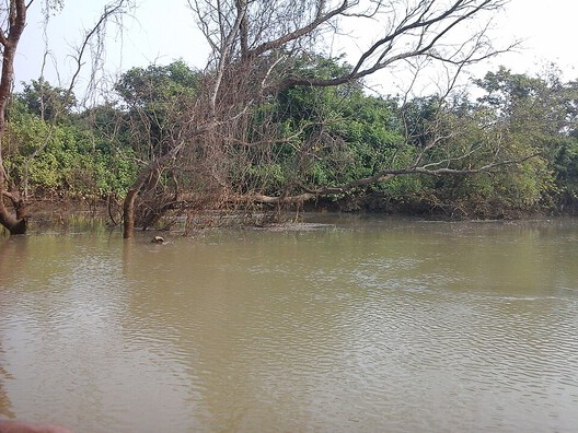
In 2022, stakeholder-informed land-use scenarios tracked changes in carbon storage, sediment retention, and nutrient export under different land-use arrangements. These indicators bring other consequences of land conversion into view alongside flood protection. A decision about a development site can affect the distribution of vegetation and the movement of water and sediment beyond its boundary; the relative importance of those effects depends on the landscape and the land uses involved.
Mangroves cannot eliminate coastal risk or replace engineered defenses in every location. Their protective effect depends on forest condition, local hydrology, and the performance of the structures protecting settlements behind them. Restoration also does not guarantee the return of a functioning forest. Successful restoration depends on maintaining the tidal connections and growing space that allow mangrove forests to develop and persist.
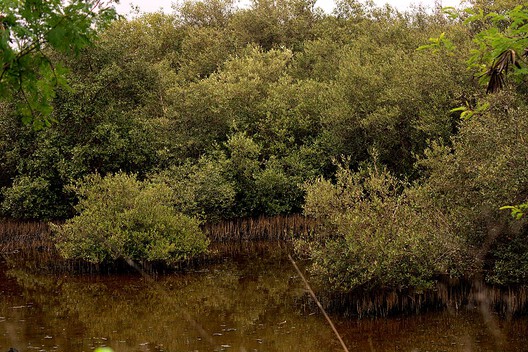
For coastal architecture, the question extends beyond where an embankment should stand or how much vegetation can be restored at a particular site. It concerns the arrangement of the territory between open water and settlement: where development meets the forest and how engineered defenses relate to the landscape in front of them. Their effects extend beyond individual project boundaries, shaping the continuity of mangrove forests, tidal movement, and the exposure of settlements to coastal hazards.
Along India's coast, mangroves already occupy this contested ground. Their roots and trunks slow moving water; their relationship with sediment helps shape the shoreline; and their presence can influence the conditions around coastal defenses. The forest's protective capacity depends partly on the land and water around it, while the settlements behind it continue to expand and change. Coastal planning must account for how mangrove forests, engineered defenses, and settlements occupy and alter the same landscape.
This article is part of the ArchDaily Topic: The Architecture of Water: Territories, Tensions & Transformations. Every month we explore a topic in-depth through articles, interviews, news, and architecture projects. We invite you to learn more about our ArchDaily Topics. And, as always, at ArchDaily we welcome the contributions of our readers; if you want to submit an article or project, contact us.