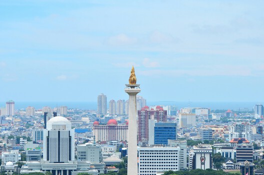
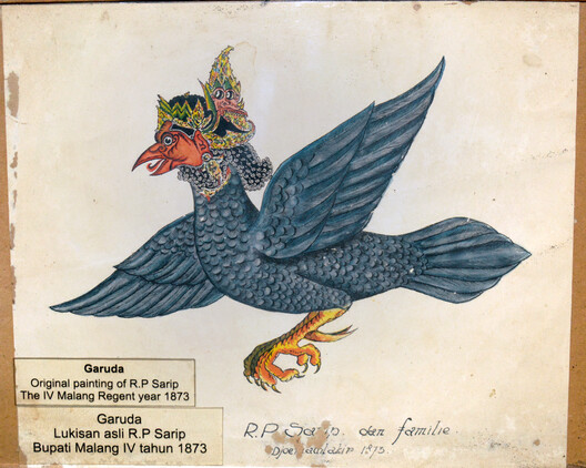
At one point, Jakarta's future coastal defense took the form of a giant Garuda rising from the sea. The mythical bird, Indonesia's national symbol, gave form to a vast coastal intervention intended to protect the sinking capital from floods while creating new territory offshore. It was an extraordinary image: a seawall transformed into a city. The Great Garuda is revealing because it shows what happens when climate adaptation begins to overlap with urban development. Once protection infrastructure also creates valuable land, defending a city and remaking it can become difficult to separate.
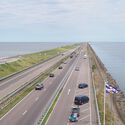
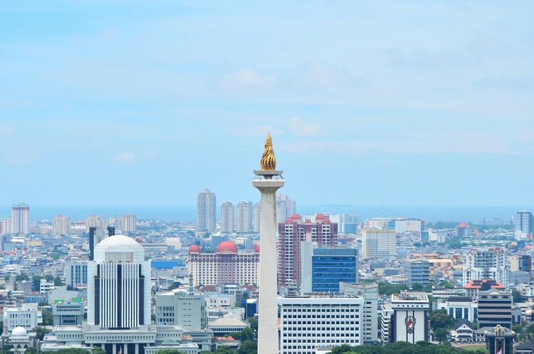
Jakarta's northern coastline is exposed to several overlapping pressures. Land subsidence lowers the city relative to the sea, while heavy rainfall, river discharge and tidal flooding place additional pressure on an already constrained drainage system. The 2015 National Capital Integrated Coastal Development (NCICD) Executive Summary described the problem as one of insufficient space for water retention and proposed an offshore dike and reservoir system to protect the city while freeing valuable urban land. The plan combined far more than coastal defense. It combined coastal protection, water management, reclamation, transportation, and economic development.
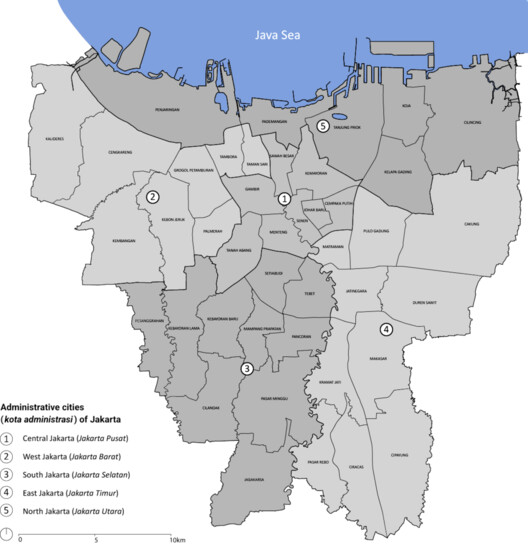
The proposal redrew the section of Jakarta's coastline. The NCICD recast the shoreline as a sequence of urban fabric, controlled water basin, offshore defense, and reclaimed territory. The Great Garuda emerged from this logic as a large-scale reclamation scheme that could simultaneously provide flood infrastructure and accommodate the expansion of the metropolis. Academic research has since described the proposal as a form of "hyper-planning," where infrastructure, urban spectacle, and territorial transformation became inseparable.
Related Article
Island Logic: How Terrain Shapes Coastal Architecture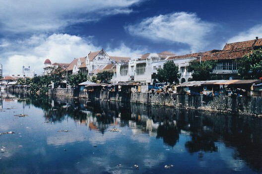
The planning logic changed once flood protection also began to produce developable land. The 2015 NCICD document separates Jakarta's 17-island reclamation program from NCICD, even though the two occupied overlapping areas and were expected to work together. The document proposed integrating their spatial planning while keeping implementation under separate management. It also proposed using a percentage of developers' profits from the 17 islands to cross-fund public infrastructure such as social housing, pumping stations and water-retention ponds.
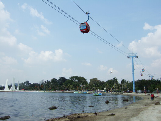
The arrangement linked land production directly to infrastructure finance. Reclamation generated development value. Part of that value could fund infrastructure, which in turn made the wider coastal territory more viable for further development. The coastline became both a protective edge and a development asset. The arrangement does not, by itself, make private participation inherently problematic. Large infrastructure frequently depends on mixed funding. The risk appears when flood protection and land production begin to compete within the same planning framework.
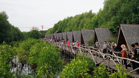
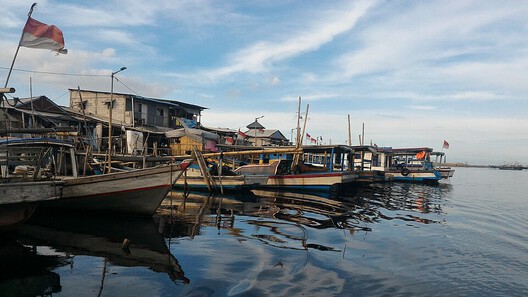
The difficulty is that Jakarta's coast was never an empty edge waiting to be developed. It is inhabited by fishing communities, informal settlements, traders and workers whose livelihoods are closely tied to the water. Research conducted between 2017 and 2023 with fisher communities in Kamal Muara and Muara Angke followed these changes through oral histories, group discussions and community-led walks, extending later into the reclaimed area now known as Golf Island. The researchers describe reclamation as a process that changes territorial access and produces new forms of dispossession.
Golf Island shows what that change looks like on the ground. Built on reclaimed territory, the development combines residential clusters, commercial spaces, a marina, shopping facilities and leisure infrastructure within a highly controlled waterfront environment. It is an example of how reclamation can produce gated, island-based urban enclaves. On a planning map, the reclamation appears as additional territory. On the ground, it produces a highly specific urban condition: privately developed, selectively accessible and economically differentiated.
For communities such as those in Kamal Muara, the same transformation is experienced differently. The researchers document fishing, mussel cultivation, salted-fish production and trading as part of an established coastal economy. They also record recurrent flooding and severe land subsidence, meaning that residents are already living with the environmental conditions the infrastructure is intended to address. For many residents, the prospect of displacement associated with new infrastructure and reclamation became a threat alongside and sometimes more immediate than flooding itself.
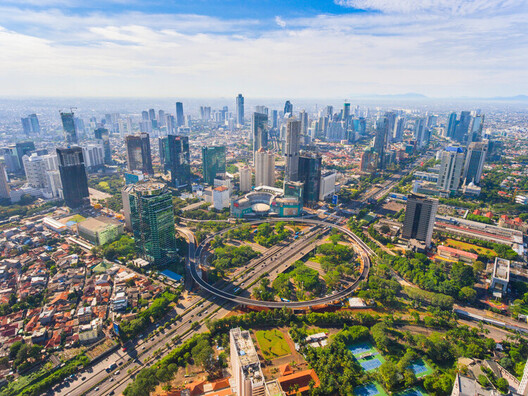
Reclamation also alters the ecological systems that already protect the coast. Recent research on Muara Angke identifies degradation of mangrove ecosystems alongside reclamation, land conversion and pollution. Mangroves had previously provided natural protection against waves, abrasion and tidal flooding. Their loss shows how one form of protection can weaken another. Infrastructure designed to reduce flood risk may simultaneously damage ecosystems that already absorb waves and tidal pressure.
The Great Garuda did not disappear entirely. Its spectacular form has receded, but the underlying coastal problem remains. The contemporary NCICD now appears in more conventional forms: seawalls, dikes, pumps and incremental coastal protection. NCICD coastal defense completed a significant section under provincial responsibility, with further construction planned.
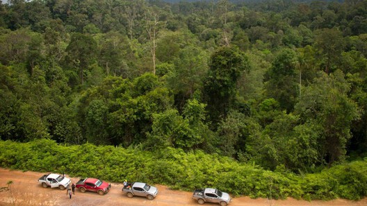
The same coastal-defense logic is now being considered at a much larger scale. In 2025, Indonesia's Ministry of Public Works reiterated plans for a Giant Sea Wall along the northern coast of Java, with studies covering a potential route from Cilegon to Gresik and a projected length of approximately 946 kilometres. The stated purpose is to respond to land subsidence and reduce flood risk around Jakarta and neighboring regions.
The Garuda image has disappeared from the drawings, while the larger territorial ambition has not. Jakarta's coastal future is still being negotiated through infrastructure that must simultaneously manage water, land, development and settlement. What has changed is the image: from a mythical bird visible from above to kilometres of seawalls built incrementally along the coast.
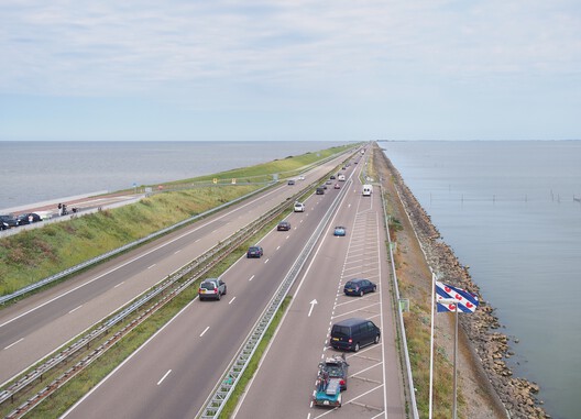
Its relevance lies in the planning logic it exposed. It revealed how easily climate infrastructure can become an instrument for producing a different city. A seawall protects existing land. Reclamation creates new land, and that land acquires value. Once value enters the equation, access to the coastline changes with it. Jakarta has to defend itself from the sea. The harder question is who decides what that defense produces.
The bird itself was only the most visible part of the proposal. What the proposal exposed was the unstable boundary between protection and development. As Jakarta continues to build its seawalls and Indonesia considers an even larger coastal defense system, that boundary remains unfinished.
This article is part of the ArchDaily Topic: The Lure of Escapism in Architecture and Alternative Worlds. Every month we explore a topic in-depth through articles, interviews, news, and architecture projects. We invite you to learn more about our ArchDaily Topics. And, as always, at ArchDaily we welcome the contributions of our readers; if you want to submit an article or project, contact us.