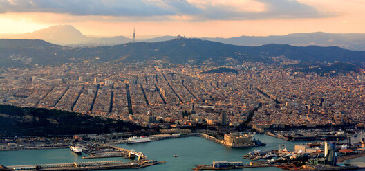
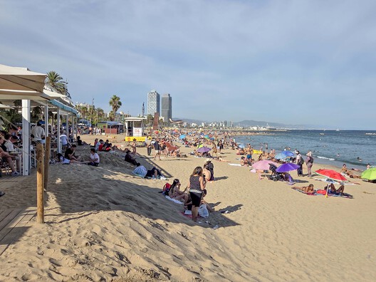
As one walks along the beachfront of Barcelona, the shoreline feels like it has always been there: sand, palm trees, a long promenade, restaurants, shops and modern hotels, when the reality is that it has not always been this way. Until the 1980s, Barcelona's seafront was a working barrier of railway lines, factories and informal housing, and wastewater ran straight into the Mediterranean. Starting in 1987, Barcelona has continuously created large promenades and passages between the city and the sea, creating an environment that today many might read as previously empty space, but is actually the result of decades of infrastructure and social complexity, along with a municipal effort to transform the city's territory and its relationship to the water. Following that transformation raises three questions that frame this article: who was displaced to open the waterfront, who governs it today, and who keeps it standing?
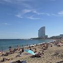
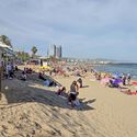
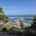
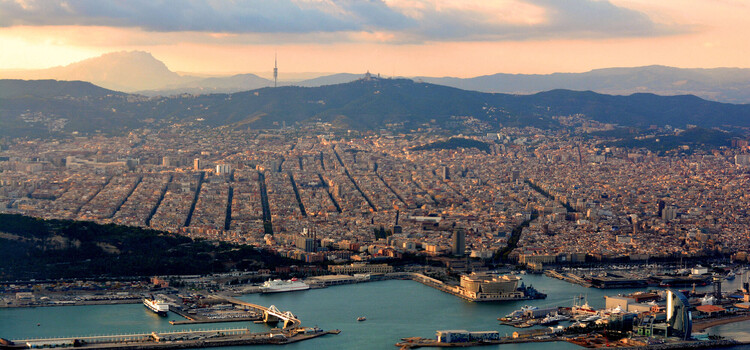
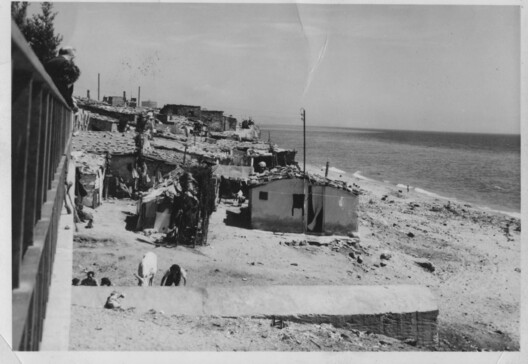
The first attempt to create a relationship with the water dates back to the late 1980s, in preparation for the 1992 Olympics, according to a 2025 review on the topic by N. Benach and N. Font-Casaseca. For decades prior, a railway line had separated Barcelona's industrial fabric from the sea, and shanty towns existed along the city's coastline, on beaches like Somorrostro. The same review places the concrete start of these efforts in 1987, with the Spatial Plan of Port Vell and the Moll de la Fusta. According to J. Henrich i Monrás, this plan grew out of a broader urban study published by the City of Barcelona, Àrees de Nova Centralitat, and aimed to replace port and storage functions with leisure, hotels and commercial uses.
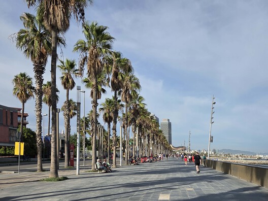
The Olympic works then gave that vision its physical form. Benach and Font-Casaseca also describe how the rail line was buried and how wastewater, previously discharged directly into the Mediterranean, began to be treated. At the same time, the city created and stabilised new beaches, improved access along the coast, and delivered the Vila Olímpica and a marina on former industrial land in Poblenou. Yet they also point out that the waterfront was never empty to begin with. It was full of industrial sites, housing and, as mentioned, shanty towns. In that light, they note that opening the city to the sea meant clearing an area that, by the mid-twentieth century, hosted around 15,000 people.
This history makes the central question of the topic hard to avoid: who claims land when a city reclaims its waterfront, and is the result an integrating effort or economic speculation? Montesinos i Curió et al. frame two possible outcomes. Either the space becomes accessible and welcoming to all locals, or it becomes an attraction for a specific group, in this case tourists. In their reading, after the worldwide success of the 1992 Games the city continued using its new spaces to promote its own image and reputation, which points to the second outcome as the better fit.
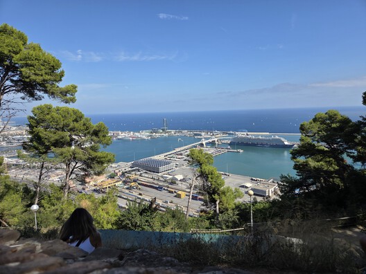
That tourism-driven logic is visible today at the port, where the question of who claims the waterfront has become one of institutional ownership. According to a 2025 article from the Port of Barcelona, a new protocol between the city and the port plans to demolish three old cruise terminals, build a new modern terminal and incorporate new technologies in the port. The article presents this public-private investment as a commitment to the sustainable development of cruise activity. It adds that, for the city, maritime tourism is an economic sector of significant weight, but one that requires planning and management measures to achieve a more orderly and efficient model that respects Barcelona's urban and environmental setting. The waterfront is thus being claimed by two institutions with different incentives, and its future depends more on negotiation than on design alone.
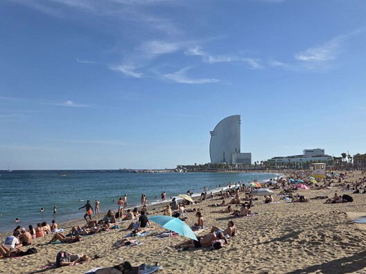
Regardless of who governs the shore, a third problem still remains: keeping it in place. Many of the beaches that resulted from the late twentieth-century plans were entirely or partially man-made, which creates an ongoing issue of maintenance and sustainability. According to the City, Barcelona's beaches lose approximately 30,000 m³ of sand per year, and other sources point to climate change as a further factor, as intensifying storms and sea-level rise erode the coastline. The usual response has been to bring in more sand, sometimes sourced locally from nearby construction sites. Yet this is not enough, and sand is sometimes brought from elsewhere in Spain or from abroad. The beach that was meant to reconnect the city with the sea now depends on a continuous supply of material from somewhere else.
Barcelona did not expand buildable land by filling the sea. Its reclamation was subtler: it took land back from industry and the port, and built beaches with imported sand. Even so, this soft form of reclamation created a permanent obligation, because a shore built in a couple of years has to be kept for decades. In that sense, Barcelona suggests that a city's relationship with its waterfront is ultimately a compromise among actors with different interests, and that the water's edge deserves the same attention as roads and housing: planning, funding and care over time, as it reminds us that the solutions of one era eventually become the maintenance bill of the next.
This article is part of the ArchDaily Topic: The Architecture of Water: Territories, Tensions & Transformations. Every month we explore a topic in-depth through articles, interviews, news, and architecture projects. We invite you to learn more about our ArchDaily Topics. And, as always, at ArchDaily we welcome the contributions of our readers; if you want to submit an article or project, contact us.