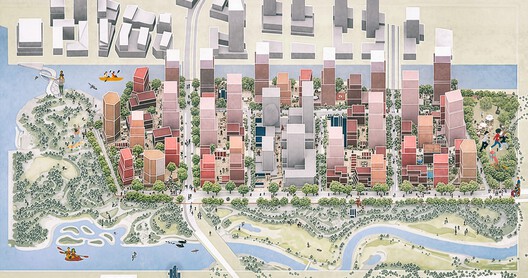
Landscape and urban design studio SLA has unveiled the design for the public realm and streetscapes of Toronto's new 39.8-hectare waterfront community. The urban landscape project "Ookwemin Minising" is located in the Port Lands, an industrial and recreational district southeast of downtown Toronto, currently undergoing urban revitalization to transform the area from a former industrial zone into a naturalized river valley, mixed-use neighbourhoods, and public parkland. The overall transformation is being led by Waterfront Toronto, a publicly funded, not-for-profit corporation established in 2001 to oversee the regeneration of the area, as part of a broader government initiative to renaturalize urban areas and increase housing density. The redevelopment of Ookwemin Minising is expected to be completed in phases between 2031 and 2040.
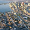
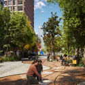
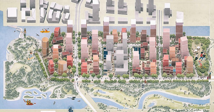
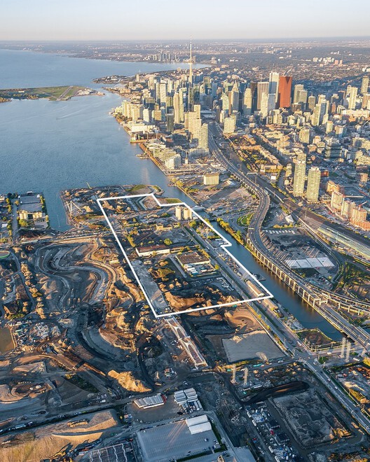
Ookwemin Minising means "place of the black cherry trees" in Anishinaabemowin/Ojibwemowin. Formerly known as Villiers Island, it is set to be the first new community developed in the Port Lands, one of several new districts identified in the City of Toronto's Port Lands Planning Framework. The regeneration project grew from an initiative for flood protection and river restoration, with the aim of creating a new waterfront community that integrates parks, public spaces, and ecological features resulting from the naturalization of the mouth of the Don River into the existing industrial landscape. The site spans 39.8 hectares of mixed-use development designed to support approximately 21,000 residents and 2,900 jobs.
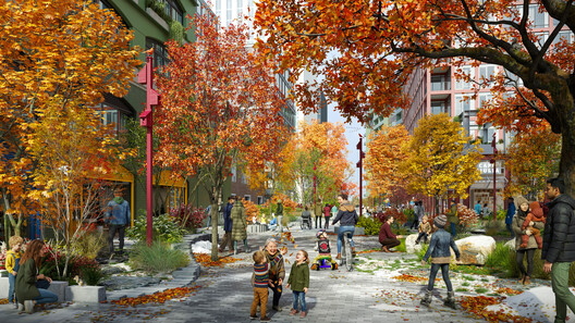
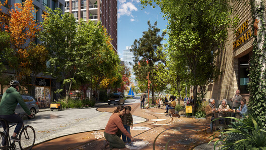
The new community is expected to become a model for dense, green, and livable urban development, comparable in scale to downtown Toronto, yet nature-based. A multidisciplinary team was commissioned by Waterfront Toronto to define a new benchmark for nature-led public space design on the formerly industrial shores of Lake Ontario, comprising GHD for engineering and administration, SLA as design lead for the urban realm and landscape, Trophic Design for Indigenous landscape design and knowledge, Allies and Morrison for architecture and massing, Transsolar for low-carbon infrastructure systems, Monumental Projects for public engagement and community outreach, and Level Playing Field for accessibility services.
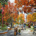
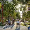
SLA and GHD have developed a design based on the concept of "Growing Streets," meaning the design begins with streets and public spaces, not only in terms of spatial distribution but also in how green infrastructure can take root and evolve. Streets are imagined as living systems, designed to function as infrastructure for stormwater management, urban heat reduction, and biodiversity support. The street design integrates the capture, filtration, and reuse of rainwater through embedded systems, while planting strategies are selected to create habitats for local species and improve microclimate comfort year-round. In terms of mobility, streets prioritise walking, cycling, and soft mobility, weaving green infrastructure, planting, water, and social spaces into everyday urban experience.
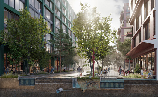
This project demonstrates how infrastructure and public space can work as one integrated system. By embedding climate resilience, water management, and low-carbon strategies directly into the streetscape, we're creating infrastructure that not only performs at a high level, but also enhances everyday life and supports long-term sustainability. - Chris Hunter from GHD
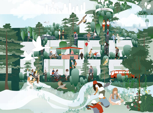
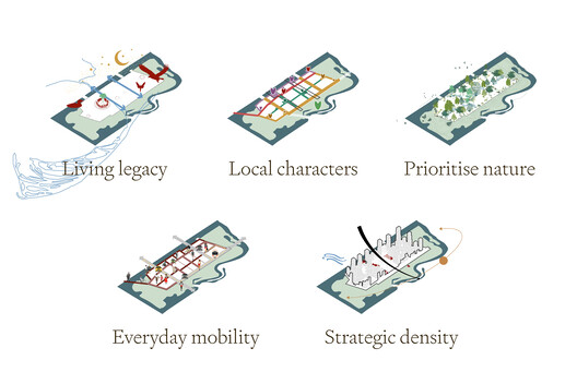
The design is structured around five site-wide strategies: Living Legacy, Local Character, Prioritise Nature, Strategic Density, and Everyday Mobility, expressed through six distinct character areas. At the center of the vision lies Centre Commons, a 760-metre-long, fully pedestrianised public space conceived as Canada's longest year-round car-free area. Centre Commons incorporates around 400 trees and is designed as the social and ecological spine of the new neighbourhood, running east–west across the island. The massing strategy developed by Allies and Morrison has increased density by 27% compared to previous plans, supporting a total of 12,000 housing units, 3,000 of which are designated as affordable. The master plan was developed in collaboration with Indigenous co-designers Trophic Design to define the "Living Legacy" approach, reflected in Ookwemin Street and The Sandbar Trail, which trace the historic shoreline and Carrying Place Trail through materiality, alignment, and landscape. Memory is woven into the design through stone inlays, planting strategies, and interpretive elements.
Transformation has been at the centre of several recently announced urban design and large-scale architecture projects. In Rome, Stefano Boeri Architetti presented a proposal to convert a former transit depot into a multifunctional civic space, while MVRDV and OODA recently revealed a landscape-led masterplan for Lisbon's Marvila riverfront regeneration. Adaptive reuse projects include Cobe's transformation of an IKEA warehouse into a new home for the Museum of Furniture Studies in Älmhult, Sweden, and the conversion of a building designed by Minoru Yamasaki in downtown Minneapolis, vacant since 2023, into a hotel.


