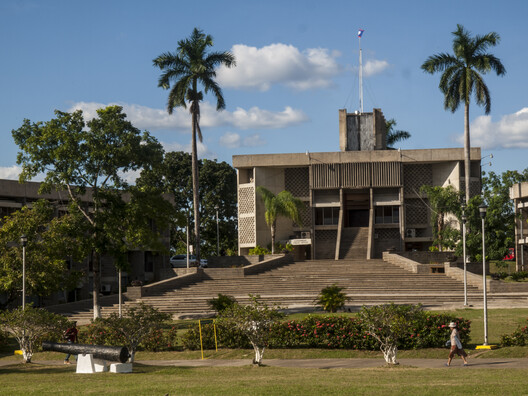
Located on the Caribbean coast of Central America, Belize is a small country with an intriguing history. It is bordered by Mexico to the north and Guatemala to the west and south, with the Caribbean Sea along its eastern edge. Known as British Honduras for most of its past, it was formally made into a British colony in 1862, long after its Central American neighbors had won their independence from Spain. As the territory transitioned toward independence, it adopted two symbols of its emerging identity: a new name, Belize, and a new capital, which was built not just to govern the new nation, but also as a way to prevent hurricanes from putting the country's institutional stability at risk.
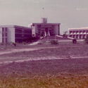
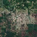
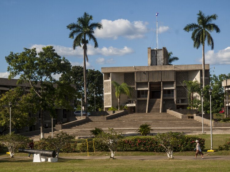
The push for that capital began with a single night of devastation. On October 31, 1961, Hurricane Hattie struck Belize City, the old capital and Caribbean port, destroying roughly 80 percent of its infrastructure and killing nearly 300 people. The extent of the destruction exposed the physical vulnerabilities of maintaining a primary administrative center in a water-surrounded peninsula located at sea level, prompting authorities to re-evaluate the nation's urban future. If British Honduras wanted to enter independence with a capital that could withstand the next storm, it would need to start over somewhere safer. In 1964, the cabinet formally selected an inland site near Roaring Creek Village, located 50 miles west of Belize City, to construct a new capital safe from tropical storm surges and geographically at the center of the new nation of Belize.