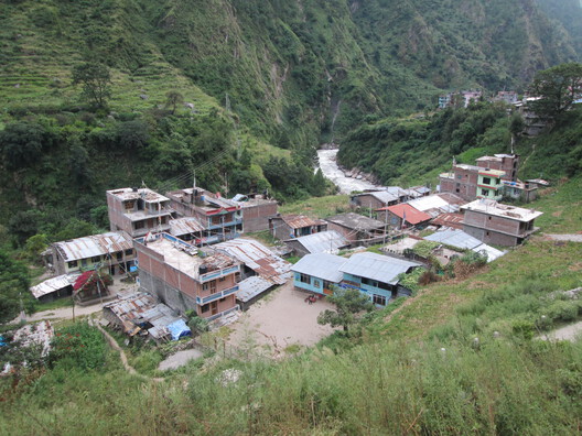
A lower section of a Himalayan glacier collapsed on Wednesday, August 26, creating an ice and rock avalanche down the Lhende River valley that triggered severe flash floods on the Nepal-Tibet border. The floods destroyed entire villages, with at least 350 confirmed dead and more than 1,300 people still missing. Characterized by their sudden and violent nature, flash floods occur within the first six hours after heavy rainfall or another floodwater source. In this case, the event has been attributed to a glacier collapse higher in the Himalayas, linked, in some scenarios, to a heat wave in the area. The speed of the movement is also distinctive of this type of flood, whose path of destruction in this case follows the Trishuli River basin in Nepal. According to the International Federation of Red Cross, the most affected areas are the Nepalese Rasuwa and Nuwakot districts. A more detailed assessment is expected in the coming days as floodwaters recede; in the meantime, it is already possible to outline some of the evidence from a territorial point of view.
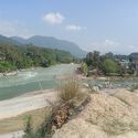
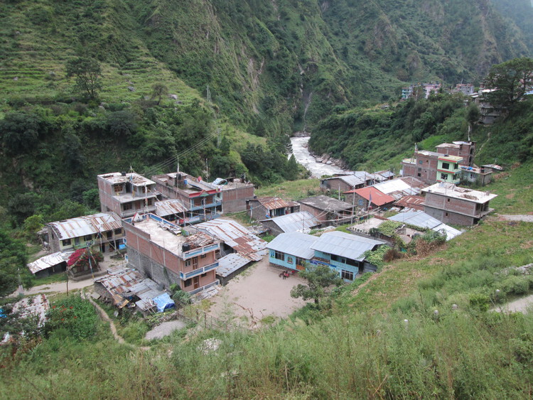
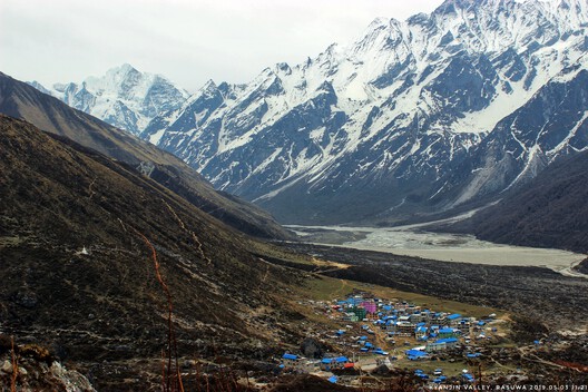
Last Wednesday's flood not only swept away border infrastructure in the Gyirong port area, but also residences, 40 km of roads, dozens of bridges, and critical infrastructure such as hydropower facilities along the Trishuli River basin. As bridges have been destroyed and major roads cut off, the total extent of the damage has not yet been assessed. Part of the emergency response calls for mobility and infrastructure solutions to reach the most isolated areas affected by this disruption, especially in Rasuwa, along with emergency shelter, safe drinking water, and basic relief items. Settlements along the creek were swept away or damaged by the ice-rock avalanche, which pushed debris into the Lhende Khola River, raising water levels in rivers downstream by up to 9 meters within 30 minutes, according to the International Centre for Integrated Mountain Development.
The event was first registered as a 5.2-magnitude earthquake. That reading was later ruled out after satellite imagery confirmed the detachment of the lower part of a glacier in the Himalayas, similar to the rock and ice avalanche that occurred in the Uttarakhand region of the Indian Himalayas in 2021. As reported by The Guardian, research shows that global warming driven by human activity (mainly the burning of gas, oil, and coal) is destabilizing high-mountain rock and ice, increasing the likelihood of this type of event. The exact cause of this glacial collapse is still being analyzed, but the event has again raised concerns about the effects of the climate crisis on the geology of mountain and polar regions. An unusual heat wave hit the region two days before the collapse, with ground temperatures reaching their highest point in the last two years, which may have triggered the melting and detachment of the splintered bedrock.
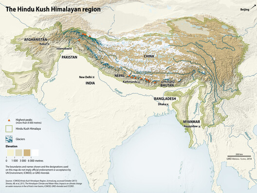
The Himalayan mountain range stretches over 3,500 kilometers across eight countries: Afghanistan, Bangladesh, Bhutan, China, India, Nepal, Myanmar, and Pakistan. The range is considered the world's most important "water tower," as it is the source of ten of Asia's largest rivers and holds the largest volume of ice and snow outside the Arctic and Antarctica. These water flows support drinking water, irrigation, energy, industry, and sanitation needs for people, flora, and fauna living in the mountains and downstream. Rising temperatures in the Himalayas are putting both the resource and nearby settlements at risk in two main ways: rapid glacier melt is creating growing glacial lakes held back by weak natural dams of rock and rubble, and permafrost thaw is destabilizing mountain slopes, which can eventually lead to landslides and rock-ice avalanches.
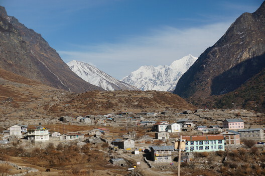
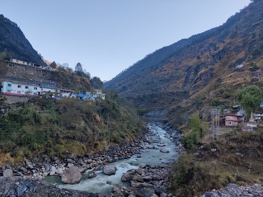
Lakes formed by melting ice can also burst, causing Glacial Lake Outburst Floods (GLOFs), precisely the risk that Chinese and Nepalese authorities are now warning about. According to recent reports, two lakes at the site of the flood, formed by the blockage of rivers, are rising and at risk of bursting. From an infrastructure and territorial perspective, this event is further evidence of the material impact of climate change -despite its political negationism- and the new risks it poses for infrastructure, communities, and settlements at different scales. Its consequences are global in scale, with phenomena such as glacier collapse, flash floods, wildfires, and rotating storm systems periodically affecting billions of people. The question of how to address these conditions from a planning and construction perspective has been raised repeatedly, driving a push for a new approach to the life cycles and material resilience of buildings.
With the goal of identifying, reporting, and investigating extreme weather events, Autonoma, Paulo Tavares's firm, launched a new open-source platform for geolocated reports this week. Documental, the free digital app, was developed primarily for social movements, civil organizations, journalists, and researchers to document and communicate local stories to global audiences in an engaging and visually impactful way. Open tools like this make it possible to track the consequences and lessons learned from events such as the recent earthquake in Colombia, which affected a low-resource area with traditional construction and a population of about 3.5 million people. They also help document and report on losses and injustices during armed conflicts, such as the ongoing conflicts in Southwest Asia, and their impact on cultural heritage.


