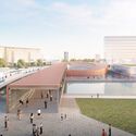
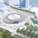
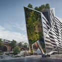
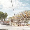
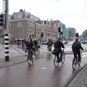
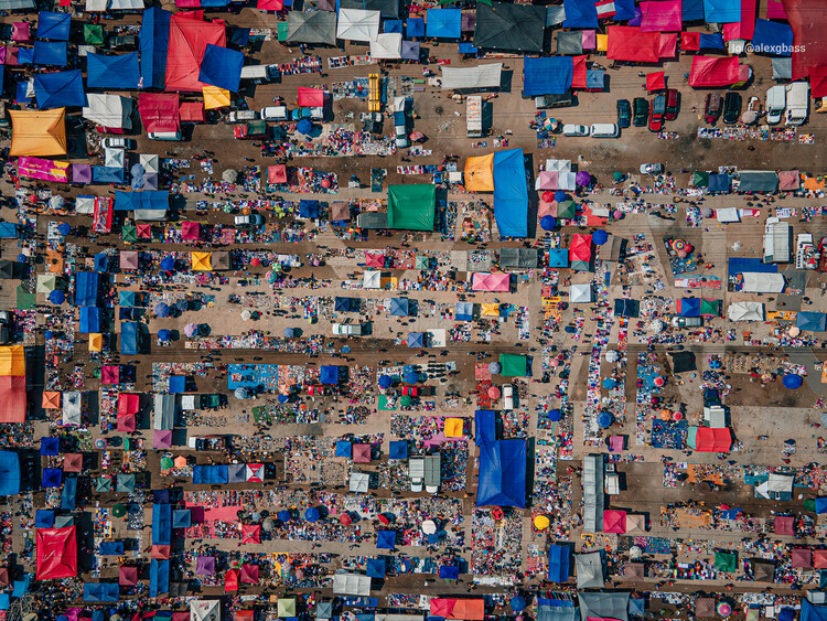
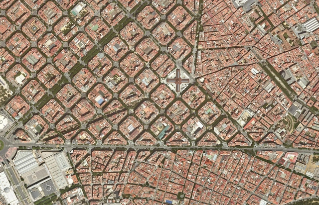
The team led by engineering and technology group Sener, in collaboration with UK-based architecture practice RSHP and Valencia-based ERRE, has been selected to design the new ValenciaCentral Station in Spain. The proposal was chosen by Adif Alta Velocidad's Evaluation Committee following a competition for a new intermodal rail hub integrating high-speed, commuter, metro, tram, bus, taxi, and active mobility connections. The new infrastructure will be coordinated with the planned Central Park, the Access Canal project, and the future through tunnel. The scope also includes the refurbishment of the historic Valencia Nord Station, a designated Site of Cultural Interest, while preserving its architectural and urban heritage.
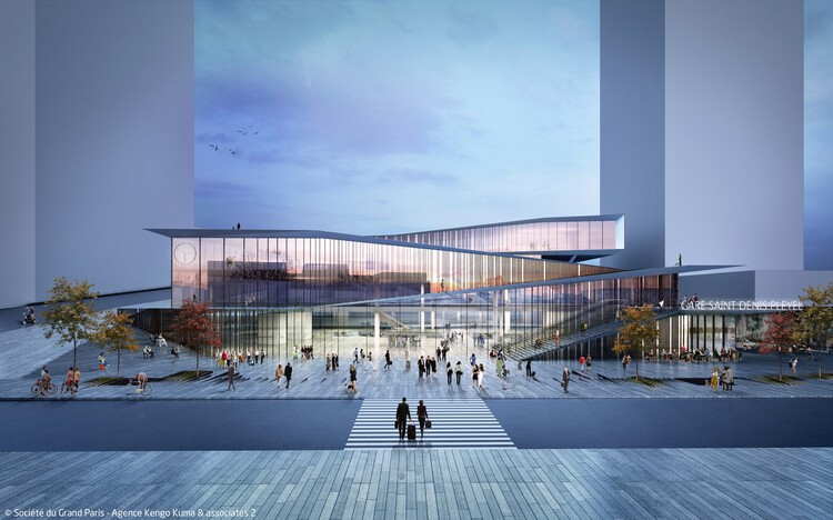
The Grand Paris Express project consists of 200 kilometers of new, fully automated metro lines, 68 new stations, and four new orbital lines (15, 16, 17, and 18), in addition to the extension of Line 14. The network is being delivered in phases between 2024 and 2031: Line 14's 8 stations are fully operational following its 2024 extension, Line 18 is the most advanced of the new lines, with testing underway ahead of its first opening, and civil engineering is largely complete on many sections, with tracks, systems, architectural fit-out, and testing now progressing station by station. Each of the 68 stations is assigned to a specific architect or architectural team, sometimes in collaboration with landscape architects for above-ground elements.
Southeast Asia is often narrated as a kind of architectural playground—an arena where modern and contemporary ideals have been tested at full scale through singular, iconic buildings. One can trace an easy lineage through names that have helped shape the region's skyline imagination: Paul Rudolph's Lippo Centre in Hong Kong and The Concourse in Singapore, I.M. Pei's OCBC Centre and Hong Kong's Bank of China Tower, Norman Foster's Supreme Court of Singapore and the HSBC Main Building in Hong Kong, Ron Phillips' Hong Kong City Hall, Moshe Safdie's Marina Bay Sands. Yet this familiar history—told through objects, colonialism, authorship, and signature forms—risks missing a deeper, more consequential layer of influence: the planning logics and infrastructural frameworks that have quietly structured how these cities expand, densify, and distribute everyday life.
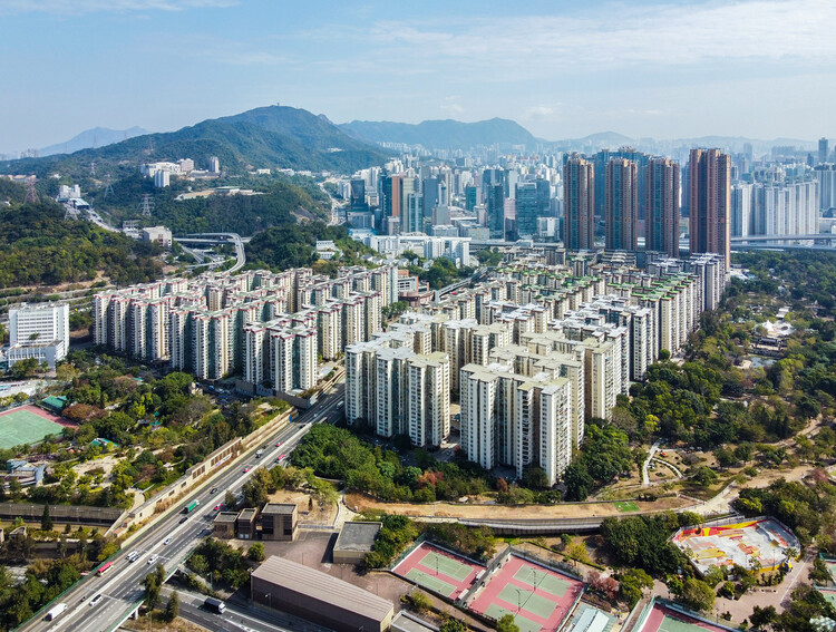
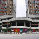
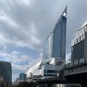
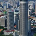
If elevated networks reveal a city that increasingly walks above the street, the podium–tower is the typology that often makes that condition feel inevitable. Across Southeast Asia, podium–tower projects have become one of the dominant languages of metropolitan growth: a system that concentrates housing, jobs, retail, and transit connections into highly legible and managed parcels. From an urban planning perspective, the model can be remarkably effective—absorbing congestion, formalizing circulation, and delivering density quickly. Yet as it spreads, the typology also raises a quieter question: what does it optimize for, and what does it erode—especially at the level of the street, where urban life is meant to be negotiated rather than curated?
At its simplest, the podium–tower is a hybrid structure consisting of a high-coverage, low-rise podium supporting one or more slender vertical towers. The podium typically carries the logistical and commercial weight of the development—retail, parking, loading, drop-offs, back-of-house services, and often amenity decks—while the tower stacks private programs above, whether residential, office, hotel, or mixed use. The promise is twofold: maximize urban density while maintaining a "human-scaled" street wall, and separate the messy logistics of city life from the quieter domain of living and work.
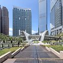
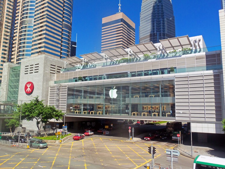
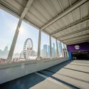
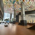
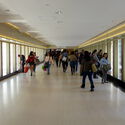
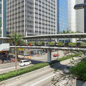
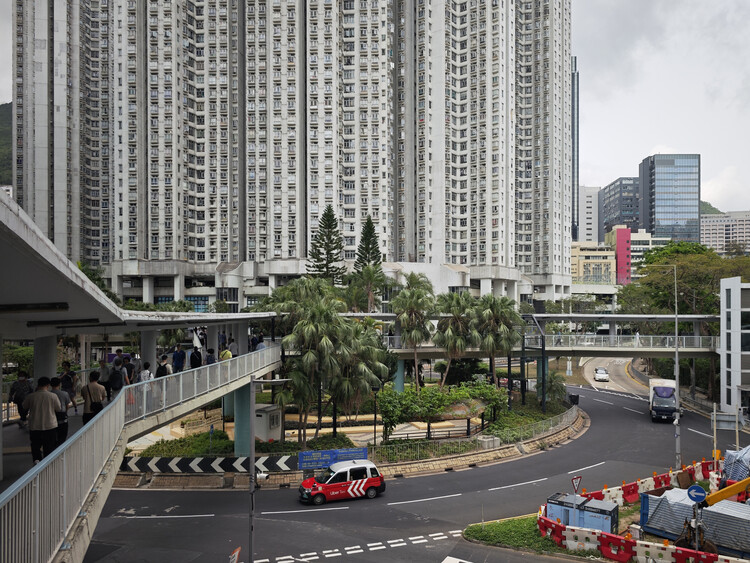
In 2012, Cities Without Ground: A Hong Kong Guidebook offered one of the clearest documentations of a condition that many residents experience intuitively but rarely name: Hong Kong's dependence on elevated, second-storey urbanism. Through drawings and careful mapping, the book captured how the city's pedestrian networks are routinely lifted above the street—separating people from traffic, extending commercial frontage beyond ground level, and negotiating a hilly topography where "flat" circulation is often an engineered achievement. Since its publication, these systems have only grown in prominence—not only for their sheer spatial complexity, but for the way they recast public space as something continuous yet selective, connective yet curated.
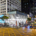
This fascination, however, has always carried a parallel unease. Elevated passages can be generous and effective, offering sheltered movement and reliable connectivity. Yet they also raise persistent questions: where do these routes lead, who gets to connect, and what kinds of programs are invited—or excluded—by this "privileged" level of circulation? The second-storey city does not simply bypass vehicles; it can also bypass the street as a civic stage. Over time, it risks shifting architectural attention away from ground-level public life, relieving designers from having to negotiate pedestrian scale, frontage, and the messy reciprocity of the street. In its worst moments, the result is a landscape of podium clusters and sealed megastructures—buildings that perform connectivity at Level 2 while remaining indifferent to the neighborhood at Level 0.
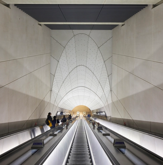
The Royal Institute of British Architects (RIBA) has announced the Elizabeth Line, designed by Grimshaw, Maynard, Equation, and AtkinsRéalis, as the winner of the 2024 RIBA Stirling Prize. Since its inception in 1996, the prestigious annual award sets out to recognize UK's best new architecture. Named in honor of Queen Elizabeth II, the Elizabeth Line represents an important development for London's transportation network. Connecting Reading and Heathrow to Essex and South East London, the development spans 62 miles of track and 26 miles of tunnels, a complex and expansive undertaking accommodating 700,000 passengers every weekday.
As the world witnesses an unprecedented exodus from rural to urban areas, cities face a monumental challenge: how to accommodate a constantly growing population? This phenomenon, characterized by rapid population growth and increasing density, puts pressure on resources, infrastructure, and urban services. As significant problems demand even larger solutions, it becomes necessary, more than ever, to rethink the tools at our disposal. In this challenging context, the rise of emerging technologies such as the Internet of Things (IoT), data analytics, and artificial intelligence (AI) presents itself as a light at the end of the tunnel. These technologies, initially conceived to simplify everyday tasks and facilitate communication, are potential instruments that enable an effective response to contemporary urban challenges.