-
Architects: Veö estudio
- Area: 150 m²
- Year: 2023
-
Manufacturers: Cemex, Perdura, Tecnolite
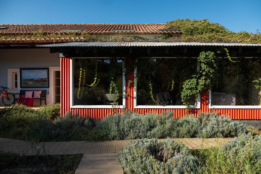
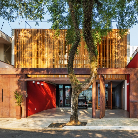
The concept of "eyes on the street" is perhaps the most famous within architectural and urban literature when it comes to urban security. Jane Jacobs uses this expression to refer to people who - consciously or unconsciously - use public spaces or observe them from their homes, generating natural surveillance. A movement that, within our discipline, is encouraged both through quality public spaces and through the powerful relationship between the public and private created through building facades. Advocating for this daily control, Jacobs believes in a way of making architecture and cities that condemns excessive verticalization, reinforced by isolated buildings and single-use ones that deny contact with the street.
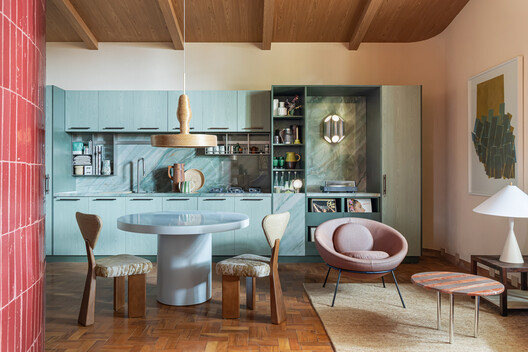


The Bienal Iberoamericana de Arquitectura y Urbanismo (Ibero-American Biennial of Architecture and Urbanism), known as BIAU for its Spanish name, is an international event promoted by the Government of Spain through its Ministry of Housing and Urban Agenda (MIVAU) since 1998. Held every two years in a different location across Latin America and the Iberian Peninsula, it recognizes, awards, and disseminates high-quality works that reflect the diversity of Ibero-American architecture and urbanism. Following its thirteenth edition, "CLIMAS: Acciones para el buen vivir" (CLIMATES: Actions for Good Living), held in Lima, Peru, in 2024, the XIV BIAU will take place in Brasília from November 3 to 6, 2026, under the theme "Cuidar la Vida" (Caring for Life). This edition structures its reflection around four themes: water, vegetation, housing, and communities, exploring the relationship between architecture and the environmental, social, and cultural conditions that sustain life.


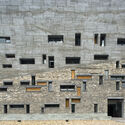
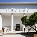
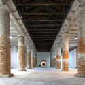
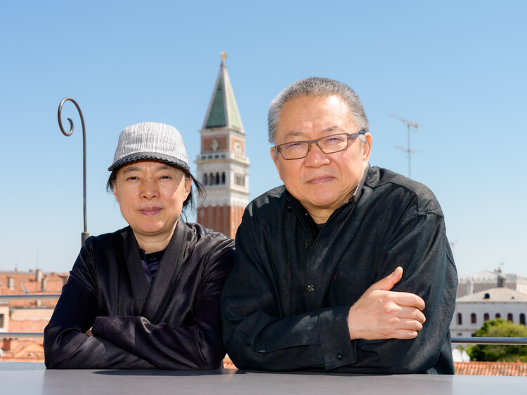
"Architecture must return to its essence." With this statement, Wang Shu and Lu Wenyu establish the central premise of their curatorial vision for the 20th International Architecture Exhibition of La Biennale di Venezia, taking place from May 8 to November 21, 2027, across the Giardini, the Arsenale, and throughout Venice. Titled "Do Architecture – For the Possibility of Coexistence Facing a Real Reality", the exhibition calls for a return to the physical act of making architecture, at a time when, according to the curators, the discipline has become increasingly disconnected from lived reality through excessive abstraction, commercialization, and digitalization.
Rather than focusing on what architecture might become, the curators propose a renewed engagement with the present, questioning what it means to practice architecture today through materials, construction, local knowledge, and direct experience. This approach builds on ideas that have long informed the work of Amateur Architecture Studio, founded by Wang Shu and Lu Wenyu in 1997, particularly their exploration of traditional building techniques, material reuse, and the relationship between architecture and place.The exhibition also places the question of coexistence at its center, exploring how architecture can bring together seemingly opposing conditions, from technology and craftsmanship to urban and rural ways of building, while remaining grounded in the specific realities of each place.