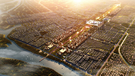
A new capital is usually introduced through its principal buildings: the assembly, the secretariat and the ceremonial spaces that give a seat of government its public image. In Amaravati, India's Andhra Pradesh, that image of a new capital sits within an older landscape of cultivated fields, villages and established routes. Before the capital project, the region was already occupied by agricultural villages, local roads and settlements connected to the Krishna River and its water systems. The capital project is reorganizing this agrarian territory into a planned administrative city, bringing existing settlements and land ownership into the process of urban development. Its architectural identity will depend on how the new buildings, infrastructure, and public spaces relate to the settlements and landscapes already there.
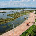
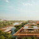

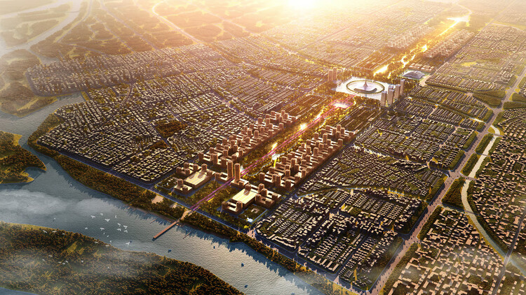
Amaravati lies along the Krishna River, within a region of agricultural land and established settlements. After Andhra Pradesh was divided in 2014 to create Telangana, Andhra Pradesh began planning Amaravati as its new capital and administrative centre, using a master plan to guide development across the capital region. The Detailed Master Plan, notified in 2016, and the Integrated Infrastructure Master Plan, published in 2017, set out the proposed land use, transport network and urban infrastructure. The plan organised the proposed capital around neighborhoods, transport corridors, institutional districts and open spaces, distributing its functions across a planned urban area.