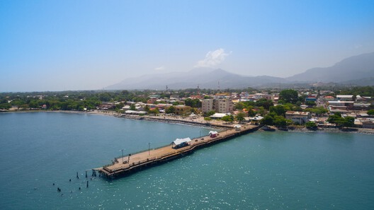
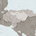
On the Caribbean coast of Honduras, lies the Leán valley, a narrow coastal strip lined by the Nombre de Dios Mountain Range to the South and the Caribbean Sea to the North. For a long time, this was the last frontier: dense jungle, swamps, no infrastructure, and difficult inland access. However, all of that started to change with the arrival of the Garífuna, who settled the area between the Danto and Cangrejal Rivers, setting the foundations of what would become the City of La Ceiba. An urban hub in the Honduran Caribbean whose history has been defined by migration waves: Central Americans, Afro-Caribbean people, Europeans, and corporate North America. These movements from all around the world did not merely contribute to economic growth, but actively produced the city's spatial logic, identity, and architectural form.
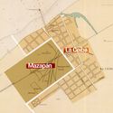
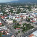
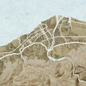
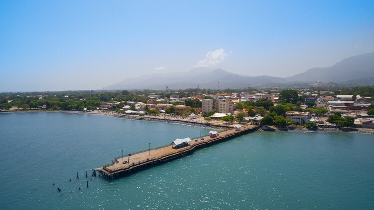
The Garífuna are an Afro-Caribbean group that was exiled by British colonial authorities from the island of Saint Vincent to the island of Roatán in Honduras at the end of the 18th century (1797). Soon after, Spanish authorities negotiated with the Garifuna for a peaceful transfer of their population into the city of Trujillo, on the Honduran Mainland. Around 1810, a group decided to move westward into the Leán Valley, until then largely uncharted by outsiders, and ended up settling near the mouth of the Cangrejal River. There, they founded a small village called La Barra. According to Canelas Diaz, it was not long before this settlement was plugged into Caribbean maritime economic circuits. The Garífuna leveraged the site's coastal geography and natural resources to establish small-scale trade networks, linking inland resources with regional ports.
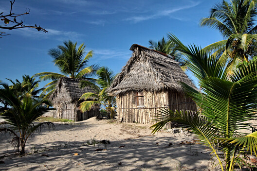
Reports of fertile land and opportunity quickly spread into the interior cities of Honduras, prompting a migration wave from the departments of Olancho and Yoro, the second in the city's history. These inland settlers used coastal routes via Trujillo and overland crossings through the mountains. Around 1835, Pech families (an indigenous group in Honduras) arrived from the department of Olancho as well. However, unable to secure a stable position in La Barra due to competition between Garífuna and inland settlers, they settled near a large Ceiba tree not far from the Garifuna Village. By 1840, continued urban growth reached the Ceiba tree, producing a dual urban structure: the Garifuna-influenced village of La Barra and a second nucleus around the Ceiba tree, which eventually gave the city its name.
Related Article
Bioclimatic Architecture in Central America: Lessons from Angela Stassano’s Work in Honduras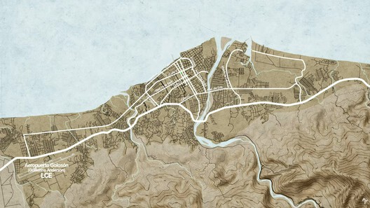
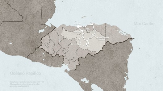
At this stage, La Ceiba seems not to have been a unified city but a system of adjacent settlements connected through commerce and labor exchange. However, its urban structure changed fundamentally with the arrival of Big Corporations from the United States. By the 1860s, banana cultivation was rapidly expanding along the entire northern coast of Honduras. Around La Ceiba, the Leán Valley's river systems enabled many people to start banana plantations inland. The waterways would allow the farmers to move their harvest downstream and unload their cargo into the ships waiting to buy bananas at the shore.
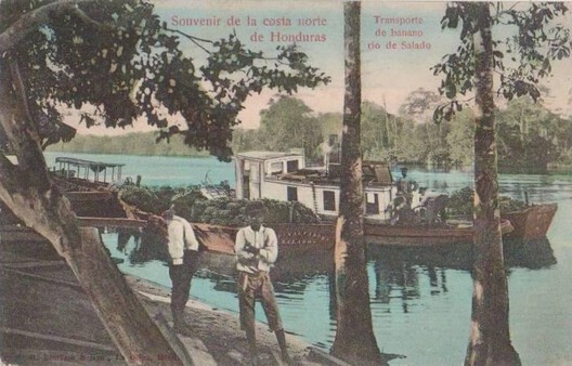
This allowed La Ceiba to receive even more migration waves from all over the world, with authors citing regions like Europe, the Middle East, and North America. In fact, it was US-led companies that contributed to formalize the banana business in the city. In search of cheaper labor and efficiency, these companies started to recruit workers from multiple British Caribbean colonies such as Belize, Jamaica, Trinidad and Tobago, St. Vincent, among others. This ended up introducing yet another migratory layer into La Ceiba, which consolidated a neighborhood today known as the "Barrio Inglés" or English town, which embedded a multicultural Caribbean diaspora into the urban fabric.
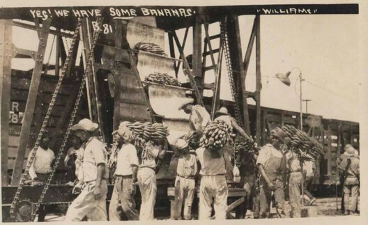
The decisive transformation of the city occurred at the turn of the 20th century. In 1899, the Vaccaro Bros. company arrived from New Orleans and quickly established plantations, docks, and shipping operations in La Ceiba. Through state concessions during the administration of Honduran president Manuel Bonilla, they also expanded railroad infrastructure along the length of the Caribbean coast. From this concentration of capital and logistics emerged the Standard Fruit & Steamship Company. Together with the United Fruit Company in the nearby city of Tela, these two corporations started a new chapter in Honduran history, which some people call the Banana Republic.
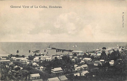
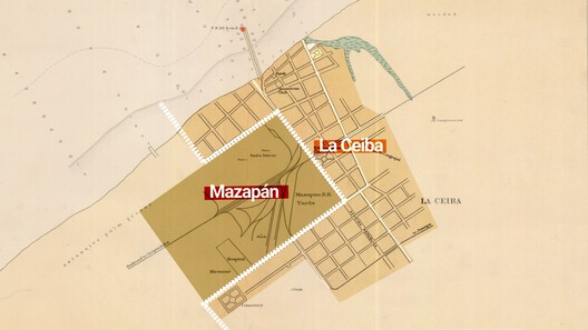
Before this intervention, La Ceiba had been a relatively organic settlement with loosely structured neighborhoods. However, corporate US urban planning modified that morphology with a parallel system. A key example is Mazapán, a company-controlled enclave west of the city containing housing, schools, warehouses, workshops, and its own railway terminal. Its creation produced a spatial split in La Ceiba: corporate infrastructure on one side and local urban life on the other. The Standard Fruit's land ownership also redirected urban expansion, prompting the city to create new plazas and establish new axes of movement along rail lines and arterial roads such as Avenida San Isidro and Avenida La República.
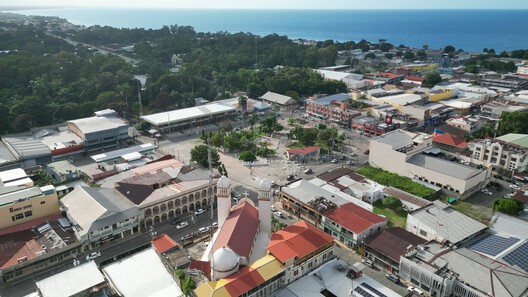
Architecture was also influenced by immigration. Building styles imported from the southern United States became dominant. Plantation-style houses with wooden structures, zinc roofs, elevated ventilation, and wide verandas created a distinct Caribbean-coastal architectural language. This was fundamentally different from the masonry-based Spanish urbanism found in inland cities such as Tegucigalpa. The result was a national architectural divergence: two Honduran urban identities developing simultaneously under different external influences. However, the city's wooden architecture also made it highly vulnerable to fire. Major fires, particularly in 1924, repeatedly destroyed large sections of the urban core, forcing cycles of reconstruction. Over time, this led to a shift toward concrete construction, which included the 1930s municipal building near the central park.
At its peak, La Ceiba became a financial hub, hosting major banking institutions with authority to issue currency. However, the city's growth was not autonomous. Despite its economic importance, La Ceiba remained geographically isolated from the Honduran national road network for much of its history, as access depended on railway lines controlled by banana companies. This isolation persisted until 1965, when the CA-13 highway connected the city to the rest of Honduras.
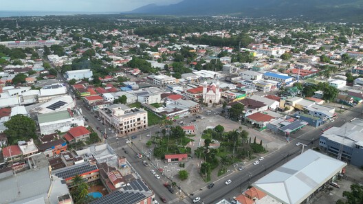
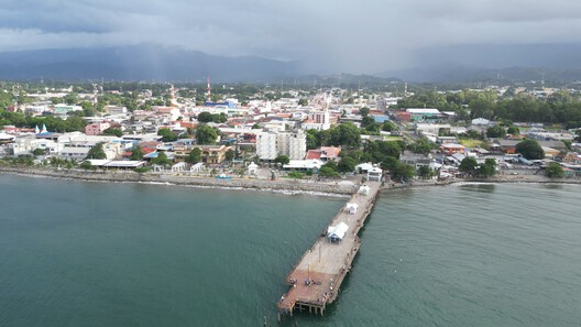
In its contemporary form, La Ceiba's urban structure remains shaped by geography and infrastructure. The CA-13 corridor produces linear expansion along the coastline, while the historic center retains administrative and commercial concentration. Former port areas have been converted into public spaces, and remnants of the banana era persist in urban parks and spatial patterns. La Ceiba is now a city built by migration in layered forms: forced displacement, indigenous adaptation, labor importation, and corporate capital movement. Each layer reorganized space rather than merely occupying it, which resulted in a city whose identity is stratified, produced by the continuous circulation of people, goods, and economic power throughout its history.
This article is part of the ArchDaily Topic: Architectures of Movement: Land, Borders, and the Politics of Belonging. Every month we explore a topic in-depth through articles, interviews, news, and architecture projects. We invite you to learn more about our ArchDaily Topics. And, as always, at ArchDaily we welcome the contributions of our readers; if you want to submit an article or project, contact us.