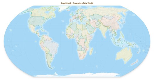
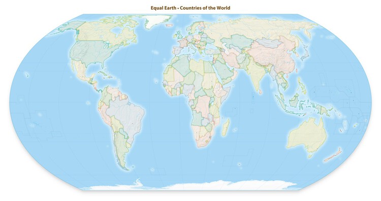
The United Nations General Assembly has voted to promote the use of world map projections that more accurately represent the relative size of continents. The resolution was presented during a session at the UN headquarters in New York on September 4 and received 164 votes in favor, with one country voting against and six abstaining. Sponsored by Togo, the resolution encourages governments, educational institutions, international organizations, and technology companies to use equal-area projections when geographic scale is relevant. The resolution does not formally replace or prohibit the use of the Mercator projection, which has been widely used since the 16th century. Instead, it calls for greater use of projections that preserve the relative area of landmasses and encourages education about the limitations of representing the Earth's curved surface on a two-dimensional map. The 2018 Equal Earth projection is identified as one example of a map that more accurately represents continental scale.
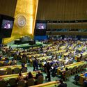
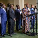
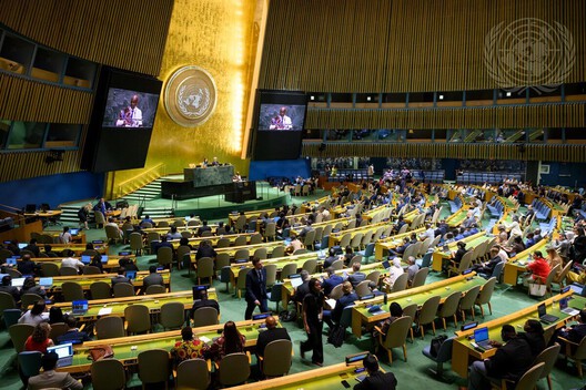
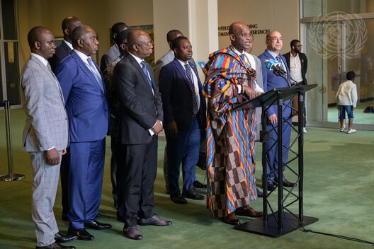
The vote took place during the 80th session of the UN General Assembly, following discussions around the geographic and perceptual effects of commonly used world maps. Togo's Foreign Minister Robert Dussey introduced the resolution, emphasizing the role of cartographic representation in shaping how geographic relationships are understood. The United States was the only country to vote against the resolution, while Estonia, Georgia, Lithuania, Moldova, Serbia, and Ukraine abstained.
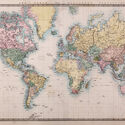
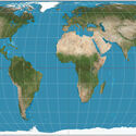
The Mercator projection was developed by Flemish cartographer Gerardus Mercator in 1569 as a tool for maritime navigation. Its ability to preserve angles and compass directions made it particularly effective for plotting courses, but this comes at the expense of accurately representing the area of landmasses. As a result, geographic regions appear increasingly enlarged as they move farther from the Equator. The distortion is particularly apparent when comparing Africa and Greenland. On a Mercator map, the two landmasses can appear relatively similar in size, although Africa covers approximately 30.4 million square kilometers, making it about 14 times larger than Greenland. Northern Europe and North America are similarly enlarged in relation to regions closer to the Equator.
Related Article
On Africa Day 2026: Revisiting Architecture’s Role in Identity and Collective Memory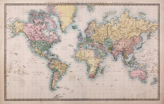
Despite being developed for navigation, the Mercator projection has remained common in educational materials, media, digital mapping, and other forms of geographic representation. Its continued use has prompted debate among cartographers, geographers, and educators about how map projections influence perceptions of geographic scale and the relative position of different regions.
Equal Earth was developed in 2018 by cartographers Bojan Šavrič, Tom Patterson, and Bernhard Jenny as an equal-area world map projection. Unlike Mercator, it preserves the proportional area of landmasses, allowing the relative size of continents and countries to be compared more accurately. However, it introduces other distortions to shape, distance, and direction, making it more suitable for geographic visualization than for navigation.
The resolution has received support from several governments, including France, whose Foreign Minister Jean-Noël Barrot announced shortly before the vote that the country would move away from the Mercator projection in its own cartographic materials. France plans to use the Eckert IV projection, another equal-area system, with different projections selected according to their intended purpose. The discussion also brought questions of territorial representation into the UN debate. Ukraine and the European Union raised concerns about the depiction of disputed territories on some alternative world maps, while emphasizing that the resolution itself has no effect on sovereignty, territorial status, or internationally recognized borders.
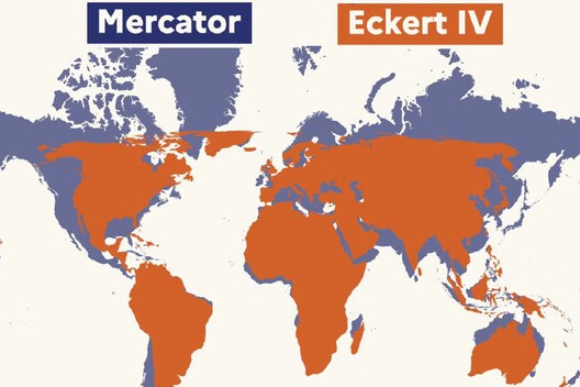
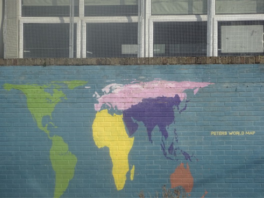
The UN vote does not establish a single new global standard for world maps. Instead, it recognizes the limitations of existing projections and encourages the use of different systems according to their intended purpose. As no flat map can simultaneously preserve the Earth's areas, shapes, distances, and directions, the choice of projection remains closely connected to how geographic information is communicated.
Recent developments have drawn attention to architecture, landscape, and spatial practice across Africa. In January 2026, the World Monuments Fund and Knoll named Australia-based practice Architectus as the recipient of the 2026 World Monuments Fund/Knoll Modernism Prize for its conservation of the United Nations' Historic Africa Hall in Addis Ababa, Ethiopia. At a larger territorial scale, initiatives such as the Great Green Wall demonstrate how landscape, agriculture, and infrastructure intersect in response to desertification and climate change. Meanwhile, the inaugural Pan-African Biennale (PAB), taking place from September 7 to 11, 2026, in Nairobi, will bring together architects, studios, research collectives, and material practitioners from across the continent.