1. ArchDaily
  2. Blue Infrastructure

Blue Infrastructure: The Latest Architecture and News

Planned Overflow: How Singapore Balances Floods, Canals, and Public Space

Audio available

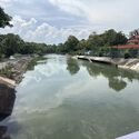
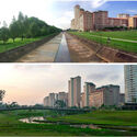
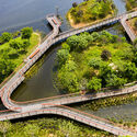
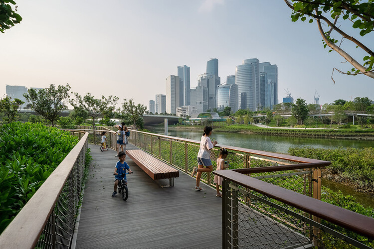
At Bishan–Ang Mo Kio Park in Singapore, a river does not occupy a fixed boundary. Under ordinary conditions, water moves through a naturalized channel bordered by grass, planting, and paths that bring visitors close to the river. During heavy rainfall, water spreads into the surrounding park, which is designed to accommodate flows beyond the capacity of the narrower channel. What appears to be a public landscape is also working infrastructure. Singapore's approach retains drainage engineering while assigning a wider role to the land around it.

For decades, Singapore's network of concrete canals has been central to managing stormwater in a densely developed city exposed to intense tropical rainfall. Their hard surfaces and defined channels were designed to convey water efficiently. These channels moved stormwater efficiently, but offered limited space for public access, planting, or other uses along the water's edge. Through its Active, Beautiful, Clean Waters (ABC Waters) Programme, launched in 2006, Singapore began integrating waterways with parks, ecological systems, and public spaces. The programme links stormwater management with the design of parks, waterways, and public spaces.
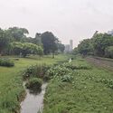
Planned Overflow: How Singapore Balances Floods, Canals, and Public Space - Image 1 of 4Planned Overflow: How Singapore Balances Floods, Canals, and Public Space - Image 2 of 4Planned Overflow: How Singapore Balances Floods, Canals, and Public Space - Image 3 of 4Planned Overflow: How Singapore Balances Floods, Canals, and Public Space - Image 4 of 4Planned Overflow: How Singapore Balances Floods, Canals, and Public Space - More Images+ 5

Dammed Between Energy and Water Scarcity: The Grand Ethiopian Renaissance Dam and the Nile

Audio available

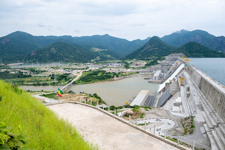
Every large dam divides as much as it connects, and the Grand Ethiopian Renaissance Dam is no exception. A monumental feat of architecture and engineering, the mega-dam has brought everyone together, for better or worse, to interrogate who gets to declare sovereignty over the riches of the river, be it water or momentum, and to challenge colonial-era Nile treaties.

Inaugurated in September 2025, the Grand Ethiopian Renaissance Dam, or GERD, is a grand concrete structure on the Blue Nile, Abay, in western Ethiopia within the Benishangul-Gumuz region, just 30 kilometers upstream along the river and east of the border with Sudan. It is built as a major source of hydroelectric power, generating an estimated 51.5% of total national output in 2025/26, and symbolizes Ethiopia's national sovereignty, rise to exponential economic development, and technological self-determination. So, why has it become the center of a protracted dispute over regional water security and international law between Ethiopia, Sudan, and Egypt?

Dammed Between Energy and Water Scarcity: The Grand Ethiopian Renaissance Dam and the Nile - Imagen 1 de 4Dammed Between Energy and Water Scarcity: The Grand Ethiopian Renaissance Dam and the Nile - Imagen 2 de 4Dammed Between Energy and Water Scarcity: The Grand Ethiopian Renaissance Dam and the Nile - Imagen 3 de 4Dammed Between Energy and Water Scarcity: The Grand Ethiopian Renaissance Dam and the Nile - Imagen 4 de 4Dammed Between Energy and Water Scarcity: The Grand Ethiopian Renaissance Dam and the Nile - More Images+ 10

Making Room for Water: Floodable Parks in Latin America

Audio available

Walk along a river in almost any Latin American city and you will find stretches that have been straightened, lined with concrete, buried beneath roads, or pushed behind industrial areas and residential neighborhoods. Throughout the twentieth century, urban expansion gradually occupied riverbanks and former floodplains, while waterways were redirected or confined within infrastructure intended to control them. Yet the water continued to return. For decades, flooding has been the most frequent natural disaster in Latin America and the Caribbean, according to the Inter-American Development Bank.

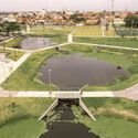
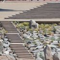
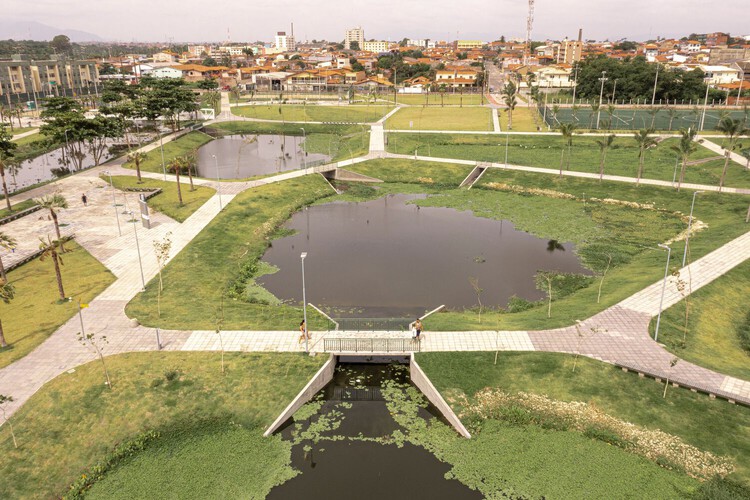
Some cities have begun to reconsider what happens along these edges. Across Chile, Mexico, and Brazil, parks are being developed within riverbeds, drainage channels, and other territories exposed to flooding. These spaces accommodate water during heavy rainfall while providing areas for recreation, circulation, and gathering throughout much of the year. Their design also changes how surrounding neighborhoods access territories previously associated with flooding, pollution, or limited public use.

Making Room for Water: Floodable Parks in Latin America - Imagen 1 de 4Making Room for Water: Floodable Parks in Latin America - Featured ImageMaking Room for Water: Floodable Parks in Latin America - Imagen 2 de 4Making Room for Water: Floodable Parks in Latin America - Imagen 3 de 4Making Room for Water: Floodable Parks in Latin America - More Images+ 17

Subscriber Access

What is Blue Infrastructure? Rethinking Water's Role in City Design

Audio available

Nature-based solutions are a primary strategy for contemporary climate adaptation and urban ecological resilience, embraced by cities regardless of their geography or climate zone. Green roofs, urban forests, bioswales, expanding tree canopy, protected wetlands, and permeable landscapes are featured prominently in municipal adaptation plans. These interventions are deployed across neighborhoods, distributed through street networks, and measured by hectares restored, trees planted, stormwater retained, or temperatures reduced. This shift expands the role of ecology within cities, establishing environmental elements as infrastructure systems and providing planners with a grounded framework for integrating natural systems into urban development.

What is Blue Infrastructure? Rethinking Water's Role in City Design - Image 1 of 4What is Blue Infrastructure? Rethinking Water's Role in City Design - Image 2 of 4What is Blue Infrastructure? Rethinking Water's Role in City Design - Image 3 of 4What is Blue Infrastructure? Rethinking Water's Role in City Design - Image 4 of 4What is Blue Infrastructure? Rethinking Water's Role in City Design - More Images+ 36

No Solid Ground: Three Approaches to Building Below Sea Level in Rotterdam

Audio available

Architects carefully calibrate their relationship to the earth, adjusting foundations to soil, groundwater, climate, risk, and culture. Driven timber piles, rammed-earth platforms, and poured concrete slabs are each a response to a specific set of ground conditions, and each shapes the architecture that rises from it. The way a building meets the earth determines its durability and its limits because foundations are among the most consequential design choices an architect makes.

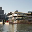
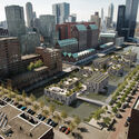
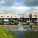
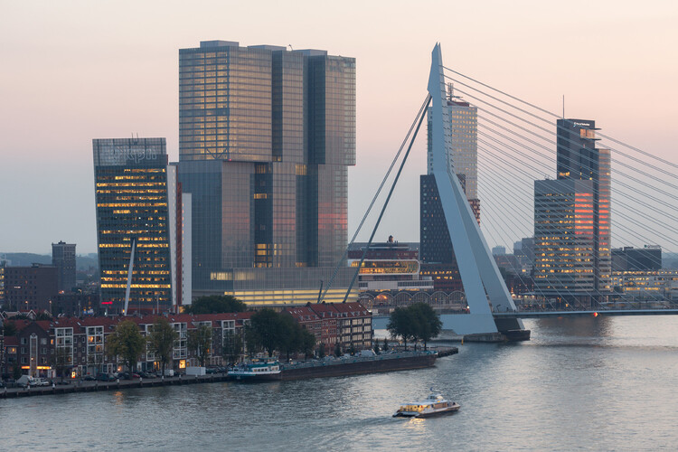
The city of Rotterdam sits approximately one meter below sea level, an organizing condition that shapes daily life in the Netherlands' second-largest city and is a growing preoccupation amid unstable coastal conditions. The city occupies the delta of the Rhine and Maas rivers, a landscape that was never naturally dry but has been kept functional through centuries of hydraulic intervention. The water boards in this region are among the oldest democratic institutions in the world, created in the thirteenth century to manage shared water drainage and still operating today as elected bodies with technical capacity. As sea levels rise and rainfall across Northern Europe grows less predictable and more extreme, Rotterdam faces a significantly increased risk of coastal storm surges and urban flooding driven by overwhelmed drainage infrastructure.

No Solid Ground: Three Approaches to Building Below Sea Level in Rotterdam - Imagen 16 de 4No Solid Ground: Three Approaches to Building Below Sea Level in Rotterdam - Imagen 57 de 4No Solid Ground: Three Approaches to Building Below Sea Level in Rotterdam - Imagen 25 de 4No Solid Ground: Three Approaches to Building Below Sea Level in Rotterdam - Imagen 54 de 4No Solid Ground: Three Approaches to Building Below Sea Level in Rotterdam - More Images+ 65

How Cities Design Public Life in the Shade

Audio available

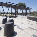
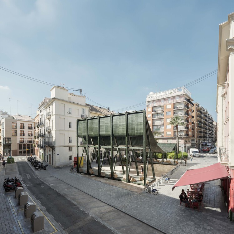
Cities are warming at roughly twice the global rate, a trend accelerated by rapid urbanization. While rising temperatures are reshaping daily life worldwide, some towns and neighborhoods, often the most vulnerable and least resourced, are warming more than others. The reason comes down to the urban environment. Built infrastructure, such as roads, buildings, sidewalks, and public spaces, determines how heat moves through a city, where it accumulates, and how long it remains trapped. No matter the climate zone or geographical location, shade remains the most effective and immediate way to cool pedestrians and relieve the built environment.

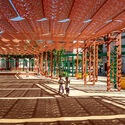
How Cities Design Public Life in the Shade - Image 1 of 4How Cities Design Public Life in the Shade - Image 2 of 4How Cities Design Public Life in the Shade - Image 3 of 4How Cities Design Public Life in the Shade - Image 4 of 4How Cities Design Public Life in the Shade - More Images+ 15

Subscriber Access

How Can Cities Cool down Large Urban Car Parks?

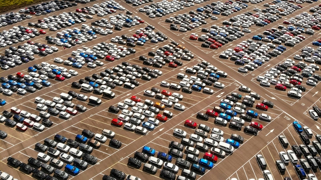
The urban heat island effect occurs when pavements, roads, and buildings absorb the sun's heat and radiate it back, causing the temperature to increase and preventing the city from cooling down. With the growing reliance on cars in cities, the number of urban car park spaces is also increasing to accommodate buildings. This has resulted in the conversion of large areas of pervious land covered with vegetation into impervious hard surfaces for more car parks. The use of materials like asphalt, combined with the lack of shade, reflective steel surfaces of parked cars, and loss of greenery in these extensive car parks, contributes to the amplification of high-temperature effects and extreme heat events, making urban spaces uncomfortable. This transformation is impacting the climate of car-dependent regions and calls for collaborative ideas and efforts to mitigate the negative effects of rising heat.

How Can Cities Cool down Large Urban Car Parks? - Imagen 1 de 4How Can Cities Cool down Large Urban Car Parks? - Imagen 2 de 4How Can Cities Cool down Large Urban Car Parks? - Imagen 3 de 4How Can Cities Cool down Large Urban Car Parks? - Imagen 4 de 4How Can Cities Cool down Large Urban Car Parks? - More Images+ 3