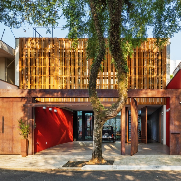
Buenos Aires is a city of rich history and distinct atmospheres. There are many reasons to explore its architecture: the city is the result of a complex interplay of cultural factors shaped by a multitude of architectural styles and trends. Its streets and heterogeneous buildings define its inhabitants, reflecting an identity forged by its history.
Beyond its historic and heritage buildings, the city offers a remarkable diversity of modern and contemporary architecture. Indeed, its architectural highlights are easily discovered on foot, framed by its prominent and beautifully designed green spaces. Below is a list of 31 sites that every architect should visit.
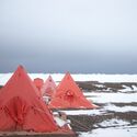
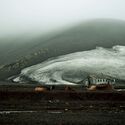
"Antarctica is known through narratives," states Victoria Nuviala Antelo during the lecture on Inhabiting the Extreme: An Architectural Biography of Antarctica, presented at the Buenos Aires International Architecture Biennial. Indeed, throughout architectural history, numerous stories, experiences, ways of inhabiting, and building practices have often been excluded from official narratives. Buried beneath thick layers of ice, the history of Antarctic architecture tells a story of impermanence. The ice surrounding the continent expands and contracts each year, doubling its surface area, while the species that inhabit it migrate and return according to their life cycles. Ice covers structures as katabatic winds erase the traces of more than 200 years of human presence. Explorations, settlements, architectural interventions, and ways of inhabiting remain concealed within one of the most extreme landscapes on the planet.
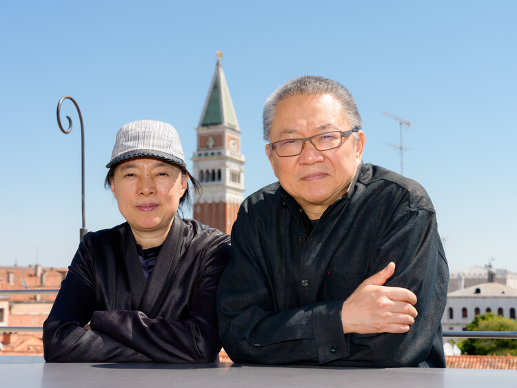
"Architecture must return to its essence." With this statement, Wang Shu and Lu Wenyu establish the central premise of their curatorial vision for the 20th International Architecture Exhibition of La Biennale di Venezia, taking place from May 8 to November 21, 2027, across the Giardini, the Arsenale, and throughout Venice. Titled "Do Architecture – For the Possibility of Coexistence Facing a Real Reality", the exhibition calls for a return to the physical act of making architecture, at a time when, according to the curators, the discipline has become increasingly disconnected from lived reality through excessive abstraction, commercialization, and digitalization.
Rather than focusing on what architecture might become, the curators propose a renewed engagement with the present, questioning what it means to practice architecture today through materials, construction, local knowledge, and direct experience. This approach builds on ideas that have long informed the work of Amateur Architecture Studio, founded by Wang Shu and Lu Wenyu in 1997, particularly their exploration of traditional building techniques, material reuse, and the relationship between architecture and place.The exhibition also places the question of coexistence at its center, exploring how architecture can bring together seemingly opposing conditions, from technology and craftsmanship to urban and rural ways of building, while remaining grounded in the specific realities of each place.
The concept of "eyes on the street" is perhaps the most famous within architectural and urban literature when it comes to urban security. Jane Jacobs uses this expression to refer to people who - consciously or unconsciously - use public spaces or observe them from their homes, generating natural surveillance. A movement that, within our discipline, is encouraged both through quality public spaces and through the powerful relationship between the public and private created through building facades. Advocating for this daily control, Jacobs believes in a way of making architecture and cities that condemns excessive verticalization, reinforced by isolated buildings and single-use ones that deny contact with the street.
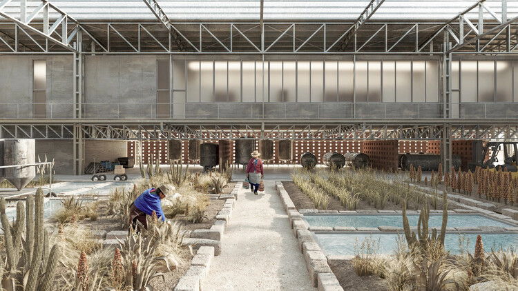
Regenerative Salt Landscapes, winning entry of the ArchDaily Student Project Awards 2026. Image via ArchDaily Student Project Awards
On paper, entering an architecture competition is one of the most challenging things an architecture student can do. What draws students to them is the chance to experiment, approaching a loosely defined program that leaves room to test unconventional ideas and unfamiliar tools outside the rhythm of the semester. That distance from assessment is a relatively recent development, as competitions were once central to architectural education.
At the École des Beaux-Arts, teaching was split between the atelier, where students developed projects under a practising architect, and the competition, where a jury of professors judged the students' work without having followed its development. This model was later brought to schools such as MIT, Penn, and Cornell by French-trained instructors. Over time, most schools held on to the atelier, which became the design studio, and pushed the competition to the edges of the curriculum.
Walk along a river in almost any Latin American city and you will find stretches that have been straightened, lined with concrete, buried beneath roads, or pushed behind industrial areas and residential neighborhoods. Throughout the twentieth century, urban expansion gradually occupied riverbanks and former floodplains, while waterways were redirected or confined within infrastructure intended to control them. Yet the water continued to return. For decades, flooding has been the most frequent natural disaster in Latin America and the Caribbean, according to the Inter-American Development Bank.
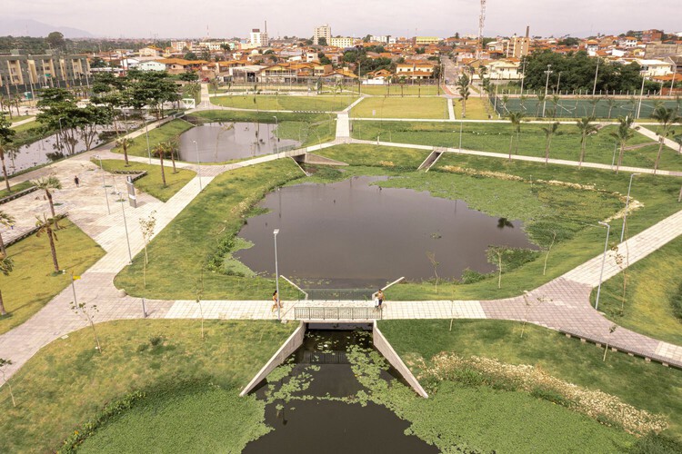
Some cities have begun to reconsider what happens along these edges. Across Chile, Mexico, and Brazil, parks are being developed within riverbeds, drainage channels, and other territories exposed to flooding. These spaces accommodate water during heavy rainfall while providing areas for recreation, circulation, and gathering throughout much of the year. Their design also changes how surrounding neighborhoods access territories previously associated with flooding, pollution, or limited public use.