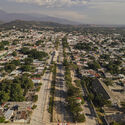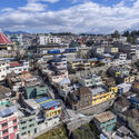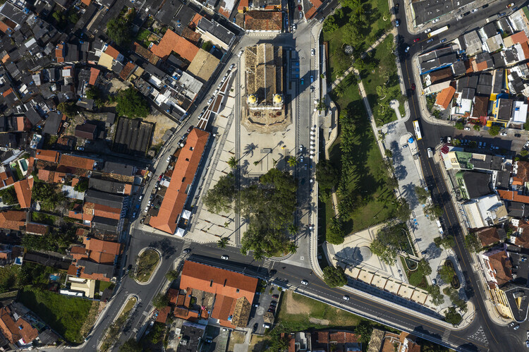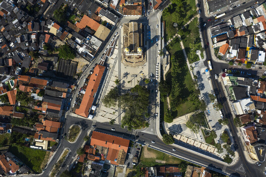
Beyond their buildings, infrastructure, and streets, cities can be understood as territories shaped by materials, resources, and processes of transformation that define their physical environments. As drone technology becomes increasingly integrated into architectural documentation and urban analysis, aerial imagery offers new opportunities to examine these different layers at multiple scales. As Jane Jacobs once suggested, "Cities are the mines of the future."
From documenting building surfaces and identifying patterns in material distribution to observing how construction systems and urban landscapes evolve over time, drones can provide valuable information to architects, engineers, surveyors, urban planners, and researchers, supporting their work and informing their workflows. When combined with photogrammetry, thermal imaging, geographic information systems (GIS), and automated image processing, aerial observation is no longer limited to a single discipline or field of application. Instead, it opens up broader discussions about surface conditions, environmental performance, and material resources.