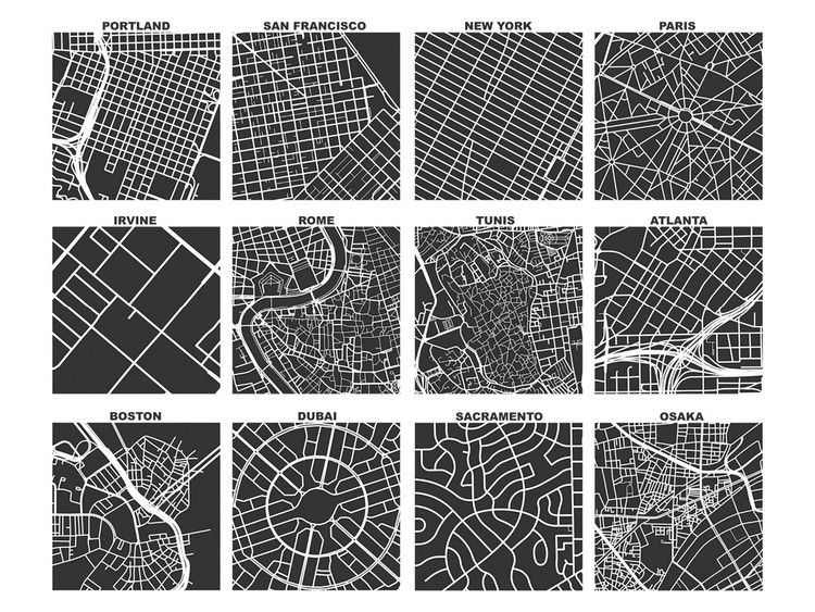
Big Data refers to data that, due to its quantity and complexity, requires specific applications in order to be processed. New trends in urbanism, data collection, and management, not to mention the development of new platforms and tools, have given rise to a new era in urban analysis, creating new resources to understand, evaluate, and manage the evolution of cities.
In spite of these developments, it's been a long tradition of urban planners to opt for visual methods to model cities. From Giambattista Nolli's iconographic maps of Rome to Allan Jacobs' street diagrams, visual culture has been the go-to method for urban planners to illustrate and communicate their work. Cartography especially has sought to convey the complexities of urban anatomy in a comprehensive, visual format.


_01-12_-_crop.jpg?1581995969)